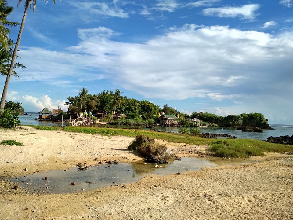
Photo Credit: Paninihian Beach @ facebook
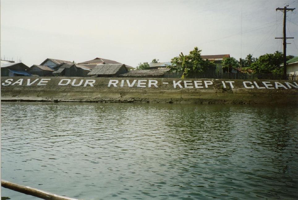
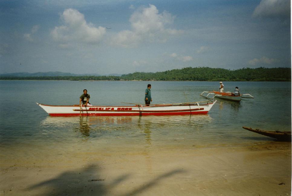
Sulat upholds her identity as one of the oldest settlements in Eastern Samar. Her early settlers were fisherfolks, which built-up along the east bank at the mouth of the Sulat River. In those early times, they used a creek, which freely flowed into the sea, as a passage during rough and inclement weather. The waterways were called suslatan, which was later shortened into the name Sulat. The fishing village had gradually evolved into a town.
As early as the 1700’s the Spanish colonization spread to Sulat and mold the people to the Catholic belief. The Jesuit missionaries built the foundation of its first church with hard labor and expert masonry way back in 1768. The church complex includes mini-fortress of massive rock walls and towers with cannons, which the Spanish called the muralla. Remnants of these structures can still be seen today, enclosing the entire Roman Catholic Church, a stone-throw away from the municipal building.
Sulat became a Municipality by virtue of Philippine Commission Act No. 1558, enacted on October 31, 1906.
Location and Basic Information
The Municipality of Sulat is centrally located along the eastern bend of Samar Island. It is approximately 36 kilometers north of Borongan, the capital town of the province and lies 153 kilometers on the overland route (via Buray junction) to Tacloban City, the region’s main urban center.
Sulat is composed of 18 barangays, seven of which are located in the poblacion area and eleven on the outside. There are six coastal barangays: Barangays Del Remedio (Candaracol), San Francisco (Lobo), Baybay, Sto. Nino, San Isidro (Maytigbao) and the island barangay of San Vicente (Puro). Four barangays are located along the river banks: Barangay A-et, Mabini and Kandalakit perch upstreams, with barangay San Juan nestled on the fork at some distance downstream, around four kilometers from Sulat town proper where the river exits. Kagbuburak River serves the other barangays. Barangays Santo Tomas and San Mateo, on the other hand, can be both reached via feeder roads and creeks leading to their own locations
It is endowed with natural beauty so profoundly demonstrated in the lush forest and fine white sand beaches, potential tourist destinations comparable to other places in the country.
Most importantly, Sulat is blessed with God-fearing and religious people: hence, the place is peaceful and ideal to live in. Per police records, crime rate is significantly low, and at present, there are neither records nor incidences of either communist insurgence or terrorist activity in the area.
External Resources:
The Christmas festivities at the Capitol has begun with the switching on of the Christmas Tree at the Capitol grounds as the highlight of ceremony.
IN PHOTOS: The Christmas festivities at the Capitol has begun with the switching on of the Christmas Tree at the Capitol grounds as the highlight of ceremony. Gov. Ben Evardone and Vice Govenor Maricar Sison-Goteesan led the switching on of the Christmas Tree. They...
The Department of Agriculture Regional Office No. VIII and the Province of Eastern Samar, on Friday, December 2, broke ground for the the Improvement/Concreting of Brgy. Burak-Mabuhay-Bantayan-Kalaw Farm To Market Road in Oras, E. Samar.
IN PHOTOS: The Department of Agriculture Regional Office No. VIII and the Province of Eastern Samar, on Friday, December 2, broke ground for the the Improvement/Concreting of Brgy. Burak-Mabuhay-Bantayan-Kalaw Farm To Market Road in Oras, E. Samar. DA-8 and the...
Provincial Government’s Financial Assistance in Barangay Cambilla, Quinapondan Eastern Samar
Dumpao Beach Resort
Credit: manilabelle Guiuan is promoted to be the next Boracay of the Philippines because of its fine sand (beaches ) and the surfing activities especially in Cali-coan. There are upper scale resorts in Calico-an and the yoga area that they are saying located at the...
The Surf Camp Resort at Calicoan Island
Photo credit: http://www.lakas.com.ph/2011/11/the-surf-camp-resort-at-calicoan-island-guiuan-eastern-samar/ With the Philippines being an archipelago nation, it is gifted with beautiful beaches from all edges of its islands. Some are for relaxing, some are for...
Yolanda Beach
Photo Credit: Serge Sumook Yolanda Beach is located in Jagnaya, Salcedo, Eastern Samar a 3hour drive from Tacloban City. The beach has expanded significantly when the storm surge and strong wind of Super Typhoon Yolanda uprooted several coconut trees in the area. The...
Headland / Promontory and Bay / Cove
FEATURE: INTERESTING COASTAL GEOLOGIC FEATURES MOLDED BY EROSIONAL PROCESSES IN EASTERN SAMAR PROVINCE Photo Credit: http://mgb.gov.ph/2015-05-13-02-02-11/mgb-news/471-interesting-coastal-geologic-features-molded-by-erosional-processes-in-eastern-samar-province The...
Sanizi Falls
Photo Credit: Photo: Real Rown/ It's More fun in Eastern Samar page http://www.visiteasternsamar.com/2017/02/sanizi-falls.html Sanizi Falls is one of the falls in Eastern Samar. It is a place where you can experience fresh water and air. It is located in Jipapad,...
A Steel Hanging Bridge
Photo Credit: Reinier M. Ampong So before I get ahead of myself, let me just tell you that a lot of people from my province get to visit countries at the other side of the globe but have never seen Maslog (and Jipapad, and Homonhon island). Maslog and Jipapad aren’t...
Menasnge Beach
Photo Credit: https://www.facebook.com/myril.hingpes Location: Maydolong, Eastern Samar. Description: Magnificent natural rock formation made more beautiful by the Maydolong landscape aficionados. ...
Virgin Del Remedios Parish Church
The church is in the middle of the town and is more than a place of worship. It also serves as a community and youth center with most of the town folk are predominantly Roman Catholic. Map Satellite
St. Joseph’s Church
Photo Credit: mklu http://ph.geoview.info/church_in_gen_mac_arthur_eastern_samar _wwweasternsamarde,7686072p A beautiful church and a historical landmark of the town. Map Satellite
Dangkalan Pacific Beach Resort
Credit: joni abesamis bonifacio You just found a little PARADISE. a perfect place for camping with mini forest & park for backpackers, family, friends or lovers on a leisure trip. Water sports activities and vacation accommodation awaits you on this oceanfront...
Linao Cave
Credit: Victorino Q. Abrugar faq.ph/linao-cave-guiuan-how-to-get-there/ Samar Island is The Caving Capital of the Philippines and home of the Biggest Cave in the Philippines Linao Cave is located in Sulangan, Guiuan, Eastern Samar. 'Linao' is a Waray-waray word which...
Manicani Island
Photo Credit: https://www.tripadvisor.com.ph/members/gingrafane Manicani is a small island in the Leyte Gulf, Philippines. The local governing body is the municipality of Guiuan of Eastern Samarprovince. Its 3,000 residents live in four villages: San Jose, Banaag,...
Brgy. Tikling Beach
Photo Credit: https://filipinoeducational.wordpress.com/2015/02/27/tikling-dolores-eastern-samar/ I haven’t traveled abroad yet but soon I will but let me introduce you to this particular place. The place in the picture is called Tikling, I really don’t know...
Apiton Island
Apiton Island, San Policarpo, Eastern Samar. The last towns along the seacoast of Eastern Samar that Ihave not been to are the towns north of Taft: Can-avid, Dolores, Oras, San Policarpo and Arteche. I just not have found yet any pretense tovisit these places,...
Municipal Hall of Arteche
Photo Credit: https://beachanatic.blogspot.com/2011/09/ Arteche is a third class municipality in the province of Eastern Samar, Philippines. In the southeast, it is bounded by Oras, to the south by San Policarpo. To the north, it is bounded by Pacific Ocean and in...
The Township/Parish
THE PARISH/TOWNSHIP of San Julian owes its origin to the pre-Spanish settlement of Libas. When the Jesuits started evangelizing the inhabitants on the eastern littorals of Samar island in early 17th century, Libas was already a small settlement, although the term...
Ulot River
Photo Credit: https://www.ironwulf.net/2016/11/21/samar-ulot-river-torpedo-extreme/ The Ulot River is the longest river in Samar spanning 90km. The headwater starts at San Jose de Buan in Western Samar, passing downstream through Paranas and finally Can Avid in...
Ban-awan Falls
Photo Credit: http://insights.looloo.com/backpack-eastern-visayas/ It’s now time to say goodbye to Leyte Island and continue your journey to Samar. From any of the van terminals in downtown Tacloban (Duptours, Van-van’s, etc.), ride a van bound for Guiuan. The van to...
Jagnaya Beach
After my daytrip at Guiuan, Eastern Samar my uncle and I stayed for the night at one of his sisters house in the town of Salcedo. They told me stories of two magnificent beach spots in Salcedo, Eastern Samar. First was the Jagnaya (pronounced as Hagnaya) Beach and the...
Minasangay Eco Park and Resort
Photo Credit: http://www.galapinoyredux.com/2010/05/minasangay-eco-park-and-resort-cliff-diving-and-more/ Minasangay is an ecological park and resort that’s found outside the town proper of Balangkayan. It’s a 25-kilometer drive from Borongan, and you’ll have to be...
Canhugas Nature Park
Photo...
Barangay’s Wayback in 2006
Bagte Elementary School Quinaponadan Brgy. Bagte Hall Brgy. San Pedro, Quinapondan, Eastern Samar. Brgy. San Pedro Elementary School, Quinapondan. Brgy. Sta. Cruz Arch and Plaza. Bagte Elementary School Quinaponadan Brgy Cthedral, Quinapondan, Eastern Samar. Brgy....
Katican Island
Credit to Sir Martin Schaeublin https://500px.com/p/tasmanian_devil?view=photos Under the sea Kantican Island Kantican Island and Marine Sanctuary, also known as Pearl Island, is located in Guiuan, Eastern Samar. It is a pearl culture farm; haven of rich...
Divinubo Island
Photo Credit: http://www.lakas.com.ph/2011/10/divinubo-island-eco-tour-park/ Divinubo is one of the famous islands of Borongan City, Eastern Samar. The island has a long stretch of white sand beach and beautiful coral...
Lovely Ogis Island
Photo Credit: Philip Raymond Bote Lovely Ogis Island is one of the beautiful islands located as it called "Lovely", located in Oras, Eastern Samar. It is one of the place that orasnon has to be proud of. The place looks like the Kalanggaman Island. The sand is white...
Immaculate Conception Parish Church
Photo Credit: Joelaldor http://simbahan.net/ The Immaculate Conception Parish Church (Spanish: Iglesia Parroquial de la Inmaculada Concepción), commonly known as Guiuan Church, is a Roman Catholic church in the municipality of Guiuan, Eastern Samar, Philippines,...
Parish Church and the Lost Bells
Photo Credit: http://www.pinoyadventurista.com/2012/01/balangiga.html What’s so special about Balangiga Church? At first glance, the...


